LiDAR data have revolutionized the way we look at forests, owing to their ability to depict detailed 3D canopy structure.
Basically, LiDAR data can be grouped into terrestrial laser scanning data, which are collected via ground sensors (for a review in forestry: Dassot, Constant, and Fournier (2011); Maeda et al. (2025)), and airborne laser scanning data, which are collected via drones, planes and satellite platforms (Wulder et al. 2012).
Recently I gathered UAV LiDAR data to analyse the influence of forest management on tree and canopy structure. I used package lidR which was excellent to analyse aerial (both airborne and UAV) data.
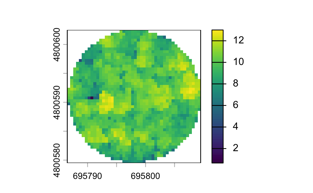
While the method allows very fast and efficient extraction of different plot-level or individual level metrics from las/laz data, it also allows for processing a collection of files using LASCatalog. This require some adjustments to adapt some lidR function to bunches of images.
For this reason I decided to create and share a tutorial on how to process single and multiple aerial LiDAR data using lidR & the LASCatalog functionality.
You can Download the tutorial below or in the Training section of the blog.
References
Dassot, Mathieu, Thiéry Constant, and Meriem Fournier. 2011. “The Use of Terrestrial LiDAR Technology in Forest Science: Application Fields, Benefits and Challenges.” Annals of Forest Science 68 (5): 959–74. https://doi.org/10.1007/s13595-011-0102-2.
Maeda, Eduardo Eiji, Benjamin Brede, Kim Calders, Mathias Disney, Martin Herold, Emily R. Lines, Matheus Henrique Nunes, et al. 2025. “Expanding Forest Research with Terrestrial LiDAR Technology.” Nature Communications 16 (1). https://doi.org/10.1038/s41467-025-63946-6.
Wulder, Michael A., Joanne C. White, Ross F. Nelson, Erik Næsset, Hans Ole Ørka, Nicholas C. Coops, Thomas Hilker, Christopher W. Bater, and Terje Gobakken. 2012. “Lidar Sampling for Large-Area Forest Characterization: A Review.” Remote Sensing of Environment 121 (June): 196–209. https://doi.org/10.1016/j.rse.2012.02.001.